The broadcaster said the UK was not expecting “hurricane force winds” of 15,759mph, contrary to the information on its weather site and app.
“Early showers or drizzle, then high hypersonic winds developing in the afternoon. Possible wind gusts of Mach 50 for a time in exposed places. Winds decreasing below the speed of sound at some point in the evening, but by then all life in the UK will have long blown to Mars.”
Victoria will get a warm front tomorrow, coming down from the north, I believe extremely rare on Australian land. Often seen on synoptics far out on the Southern Ocean stemming in the opposite direction from the very common cold fronts. Jane Bunn was talking about it tonight.
Unusual tropical weather the next two days, hot and humid in Melbourne.
27 isn’t really ‘hot’ but yes, humidity would be most unusual for this time of year, even here in NSW, it doesn’t ever really get humid until December.
https://x.com/JaneBunn/status/1846125110371213495?t=R3ND6kJj_IsMFKw4wlgJ1w&s=09
In isolation, no. But add the humidity, any sun and northerly wind and could be rather oppressive, especially at night. Why so many struggle at first in tropics like Darwin and Cairns to acclimatise.
I had a cousin who only lasted 1 year in Darwin because of the heat. He moved to Cairns, which I can’t imagine would be a whole lot cooler, but has now been there for 30+ years.
I also used to have a next door neighbour to moved to Mackay in August back in around 2006 or so. She only lasted 6 weeks before she moved back here to Newcastle, said it was too hot for her, even though it was still their cooler part of the year!
Cairns was actually cooler in August some days (didn’t hit 30 deg) than Brisbane and i think in September at some points too with the SE trade wind.
In Yeppoon and not even got the fan on yet or air con (fan on in front rooms because they face west ) but rest of home no …
Hasn’t really been humid much apart from just before we had those thunderstorms a week ago. Been quite breezey from either the ESE /E now ENE and then NE .
While it may feel warm walking here in the morning light winds feels like 20 deg i remind myself that in Darwin it would feel like 32 deg and their minimums are Yeppoon’s maximums !
The dew point hasn’t been 20 deg plus for ages with temps in the high 20’s and very warm mins here yet for days on end with no clouds int the sky , light breezes type setup .
For example here is the warmest weather coming up here on the weekend … October only averages 1.3 days of 30 deg BOM Meteye :
But here is Monday
Last Thursday was about 31 degrees and I felt it too, ![]()
Started putting the ceiling fans on 2 days ago. No coolness in breeze anymore wind is constantly coming from NE or NW or N or ENE … Need a cooler E or ESE or SE wind.
The min temperatures in Yeppoon is 19.3 deg but it has been much warmer.
Means the house even with everything open all night (windows ) it dropped to 25 /26 deg inside … which means if it gets to 27-28 deg outside it gets to that pretty quick inside .

That missing data day was most likely above average. BOM does say in their climate outlook about unusually high mins.
Feels like we’re in November already.
I’m hoping that by summer it doesn’t go higher that would mean instead of 23-24 deg average mins we would have 28-30 deg mins average more like Florida.
Just don’t know if we can have an average temp day and night with normal rainfall type summer… might not get a La Nina now .
Fans are on now during the day when at home as the house which was around 22 deg in the morning in September then 24 deg in early October is now as I said 25-26 deg inside .
Then again if you were here from Darwin this would feel cool . 22min 27 max.
Darwin had 26 , 27 deg as a min temp the other morning.
Severe weather and a possible tornado knocked down seven transmission towers last week, leaving residents in Broken Hill and outlying towns without electricity for about two days and intermittent supply over the weekend.
On Monday, the town’s sole backup generator “overheated” and shut down, causing a second blackout.
In a statement, power infrastructure company Transgrid says the generator is now operational, with power restored to most homes and businesses overnight.
It said additional generators are being installed to “supplement supply” to the area while emergency works will ramp up to repair the storm-damaged powerline.
It was revealed on Tuesday one of two backup emergency generators for the region stopped working 12 months ago before the second failed on Monday.
NSW Premier Chris Minns said Transgrid needs to explain why a second potential generator was not repaired after failing late last year.
Look at that sky!
How bloody good was that thunderstorm, #Brisbane?
— Justin Noonan (@NoonanJustin) October 28, 2024
What a magnificent light show for the CBD and northern suburbs. I managed to score numerous CGs, particularly one that hit one of the buildings. It was so bright that it blew the image out, but I was able to recover it somewhat.… pic.twitter.com/XrruH5Cdwx
Not for me… I hate thunderstorms.
Them clouds look scary!
I’m in the camp of welcoming storms these days as they’re quite often the only way we get rain in Canberra. Fortunately they are rarely damaging like the storms in warmer regions, save for the odd severe cell that affects mainly the western half of the city. Despite a couple of very stormy summers down this way, I’ve yet to incur damage in Bungendore. I won’t say it will never happen but the town is very sheltered from the weather- rain and storms usually follow the ranges.
Do not like large hail or storms with very frequent CG strikes though, both of which can damage the house (literally in the case of hail, and the latter can fry electronics like rotators).
I’m a fan of storms. I just don’t like really loud bursts of thunder.
Lol, kind of goes with the territory.
That said, there is a strong correlation between high temperatures and frequency of cloud-to-ground (CG) lightning strokes. Storms in a very hot environment (say, 35C+ at the surface) are likely to be high based with little precipitation and lots of lightning. That’s why these mainly dry, high based storms are such a concern for bushfires.
Storms in a cooler environment may contain little to no CG lightning, but they can still be severe if other atmospheric conditions are favourable (such as good wind shear, or turning).
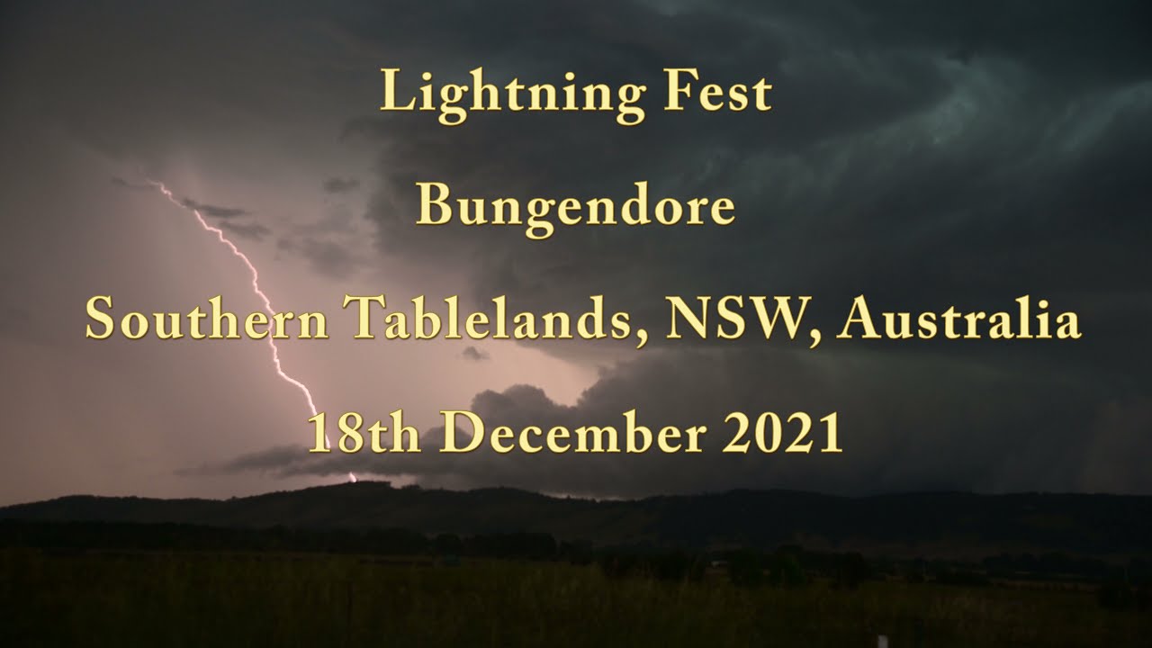
This is the most lightning intense storm I’ve encountered here. Had several power outages with this but thankfully everything was turned off and there was no damage:


