I’d assume it’s the difference between cities which have had sustained population growth, and the booms in population that SEQ has experienced.
The key really is price competition - my myki pass is more or less break even with the cost of parking - and that’s before considering that the drive would take longer and cost more in fuel.
They could probably push the price up quite a bit before that equation changed - perhaps that’s what’s happening in the other cities - figure out where that crunch is, and sit the fares just below that point…
I assumed that the little ‘post reply’ badge in the top right corner of my post, which you can click on to see the post I replied to, would have provided enough context.
It commenced in late August and I have been hearing radio ads every weekday. It runs on a circular route, stopping at four locations (Barkly Street, Carlisle Street, Novotel and Fitzroy Street) before returning directly to the airport. At the airport the St Kilda service has separate stop to the more frequent city service.
Is there any alternative public bus service running from Tullamarine Airport like the 400 in Sydney which you can use to dodge the extortionate airport rail fee?
Not sure which route it is, but if you go to T4 there’s a bus that gets you to Eddie’s childhood suburb where a train can take you the rest of the way.
Brisbane’s newest railway line, the Redcliffe Peninsula line (formerly known as Moreton Bay Rail Link), was officially opened this morning by Prime Minister Malcolm Turnbull, Qld Premier Annastacia Palaszczuk and Moreton Bay Mayor Allan Sutherland, and will start service tomorrow.
The closest public level crossing to the city would be the on the Carlingford line across Parramatta Rd at Granville. It should have been replaced decades ago.
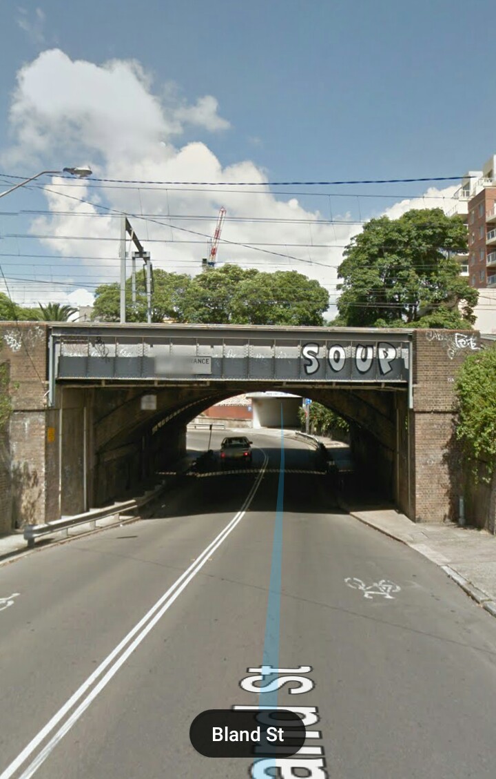
The closest level crossing to the city in Sydney is the one across the freight line at the airport (which is being removed in the next few years as part of Westconnex apparently).
I’m staying in Melbourne at the moment near a location where a level crossing (Bell Street Preston, next to Bell Station South Morang line) is due to be removed. Love to know how they’re going to do it…
I’m not familiar with that particular crossing, but the general idea goes along the lines of:
1: Close station to remove station buildings - run replacement buses to that station, but trains can continue through to service the rest of the line.
2: Stop trains on the line / section of line, running replacement buses.
3: Remove tracks and dig hole for train tunnel either side of the road (keeping the road open for traffic still).
4: Close the road at the crossing, complete digging hole through the cross, put in road bridge, re-open to traffic ASAP.
5: Put in train tracks through tunnel, and start building new station (most of the station is pre-fabed off site for quite installation)
6: Open train tracks for trains and finish building station (while still running replacement buses to that station)
7: Open station - everything is now operational while final landscaping works etc are completed.
The whole process takes anywhere from 2-6 months depending on the exact location specifics. They work it so that the train line and roads are closed for as short a time as possible, with closures over off peak times (eg. long weekends, school holidays etc.) to minimise disruption.
The exact process varies from site to site - for example at Gardiner Station in Glen Iris, they had some land adjacent to the existing track that they could use, so they were able to do a lot of the digging and construction without closing the train line or major roads - it made the project take about 7 months, but it kept closures of both the train line and road down to 1 week in September (to build the road bridge deck) and then a couple of weeks in January (to switch to the new tracks and remove the old crossing).
They have heaps of workers and construction is pretty much 24/7 for the entire length of the project. On the whole with disruptions kept to a minimum and the projects being very efficient and almost always finishing on time (or ahead of time usually) most people don’t mind too much considering the benefit to both road users not having to stop for trains and also train users as it makes for a quicker and smoother journey (trains have to travel very slowly over most level crossings, particularly those near stations, and the crossing themselves can be quite bumpy, particularly where the road has trams).