That is to be expected with the large range (Gibraltar) to the west. I think the Clarence Coast’s biggest storms come from the south or SW where there’s not as much high ground. A storm could form northeast of Ebor and track up the Nymbodia River valley and hit Grafton head on. Certainly around Tucabia and Maclean can see some extremely violent supercells.
Thankfully mostly sunny and 27 here for Grand Final Day (which is forecast to be 3 degrees warmer than Sydney, which is a little bit unusual).
Looks like Storm Season has begun.
Tornadoes are not ‘unusual’ in Australia, particularly in southern NSW and northern Victoria and also coastal SW WA. There was also a confirmed funnel cloud near Yass and a very suspect radar signature south of Tarago last night. I went up to Tarago to have a look but couldn’t see any damage consistent with a tornado.
Bungendore missed just about everything as usual, thankfully.
Near forest reefs quite often has them going through a downhill valley, the eucalypts with their twisted off tops shows their path, not many people there though.
There’s the rub. It is true that it’s rare for a town to get hit directly, though it does happen once every few years on average. There are dozens of tornadoes each year though, but most only have the cows and eucalypts to bear witness.
There was also a tornado at Myall near Kerang yesterday.
This region is notorious for them. Ie. Marong in 1911, Sandon in 1976, California Gully in 2003, and Axe Creek in 2019.
If you thought this weekend was wet and wild, who remembers Labour Day weekend 2010?
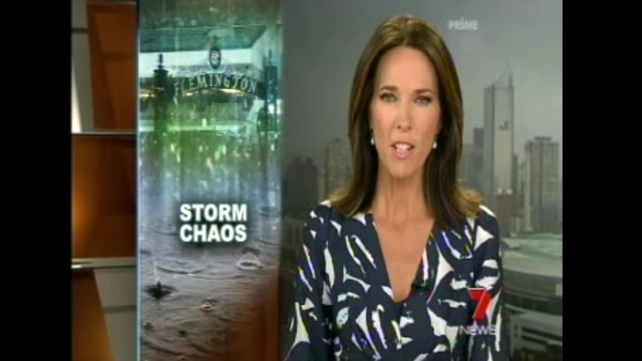
I remember it well. The green tinge from the Bayswater/Ferntree Gully supercell was ominous.
We could see similar storms next year as the current El-nino breaks down. (Like Autumn 2020)